Hollyford Track; 5 days in Fiordland
- 27 December 2022
- Celia Hay
Deep within Fiordland National Park, you will find the Hollyford Valley, formed from an ancient glacier. The Hollyford River dominates the valley as it winds west from the mountains of the Southern Alps to the Tasman Sea. On this journey, the river pours into Lake McKerrow, and out again near the coast where the fresh-water lake is protected by an estuary and extensive sand dunes.
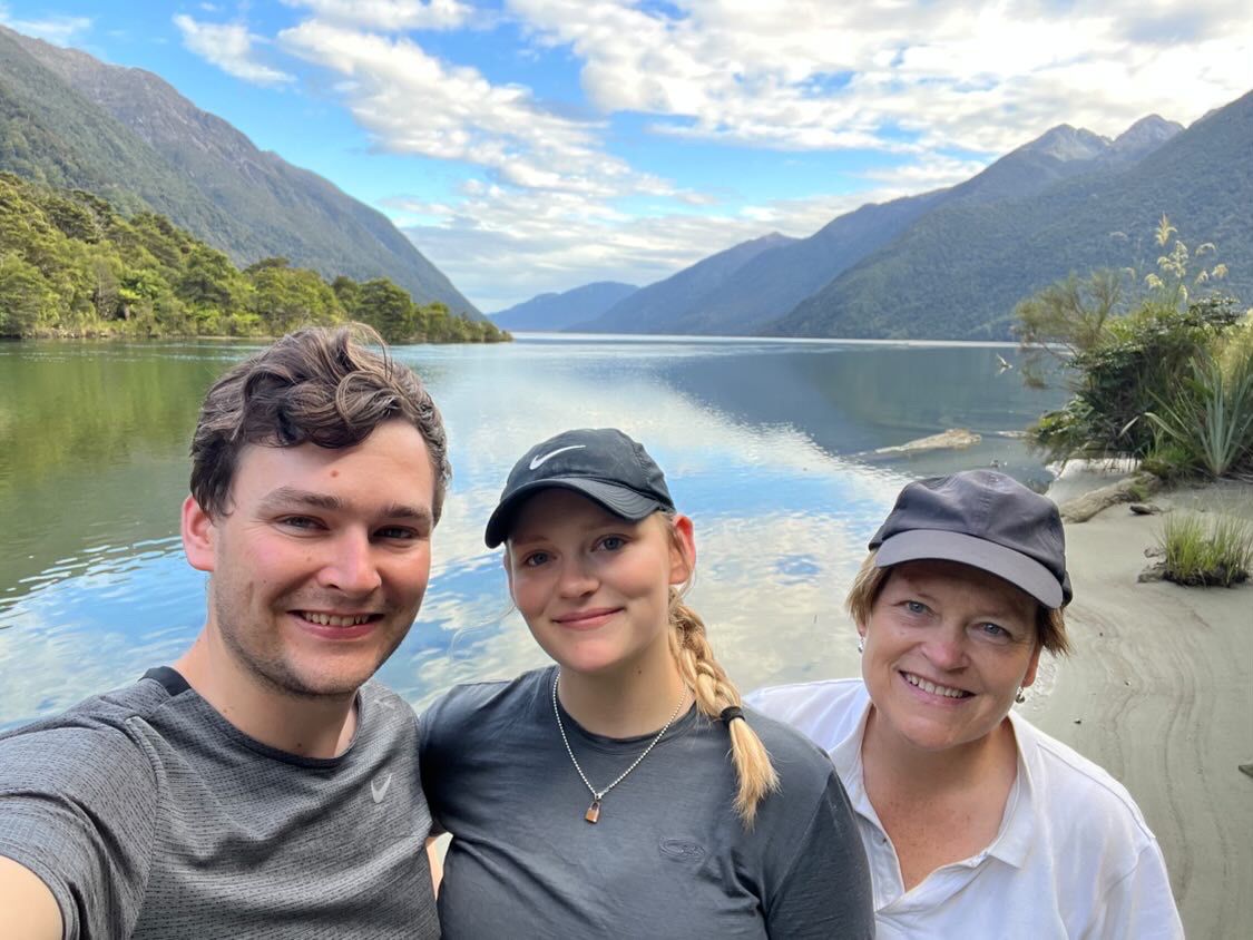
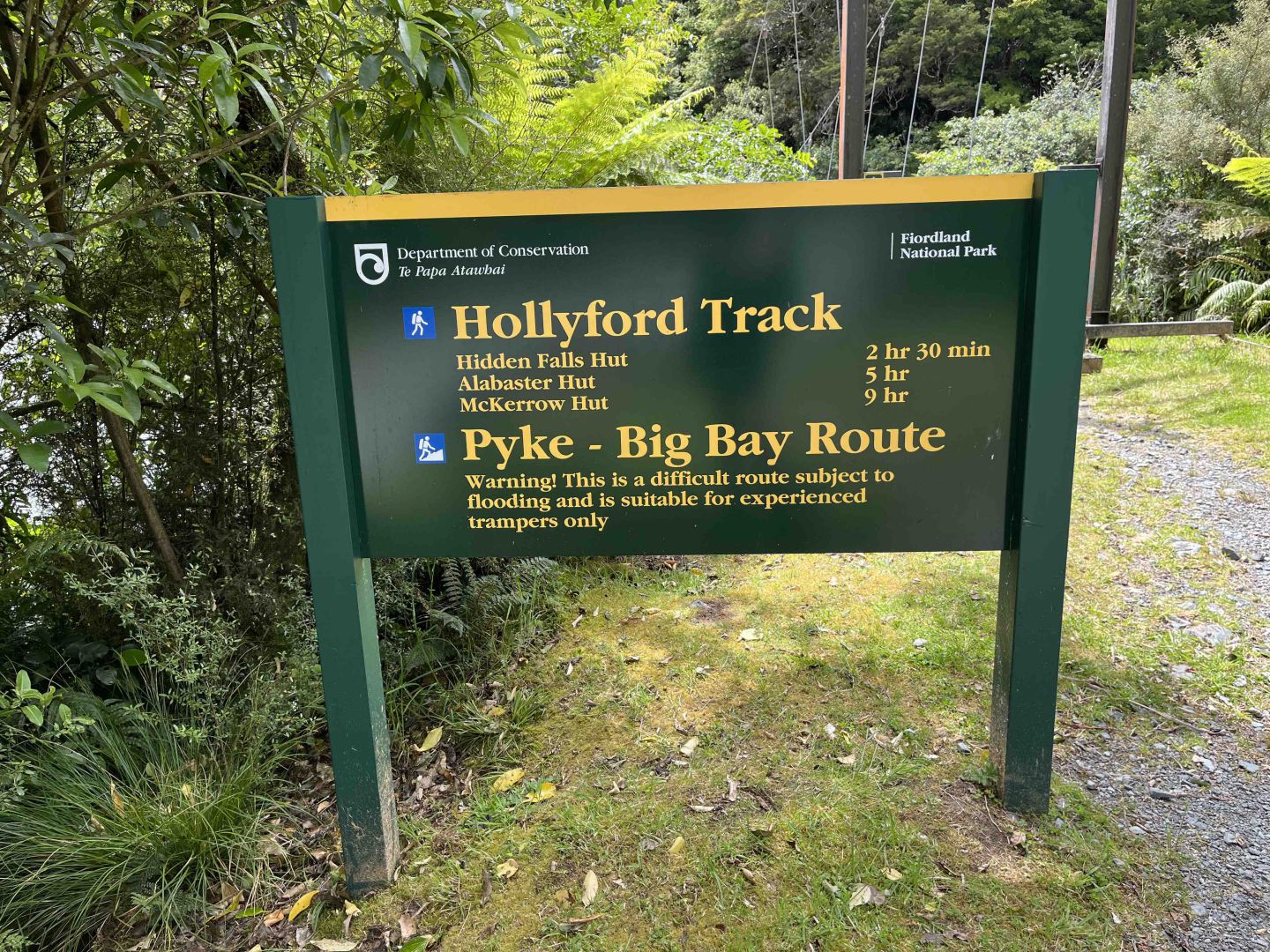
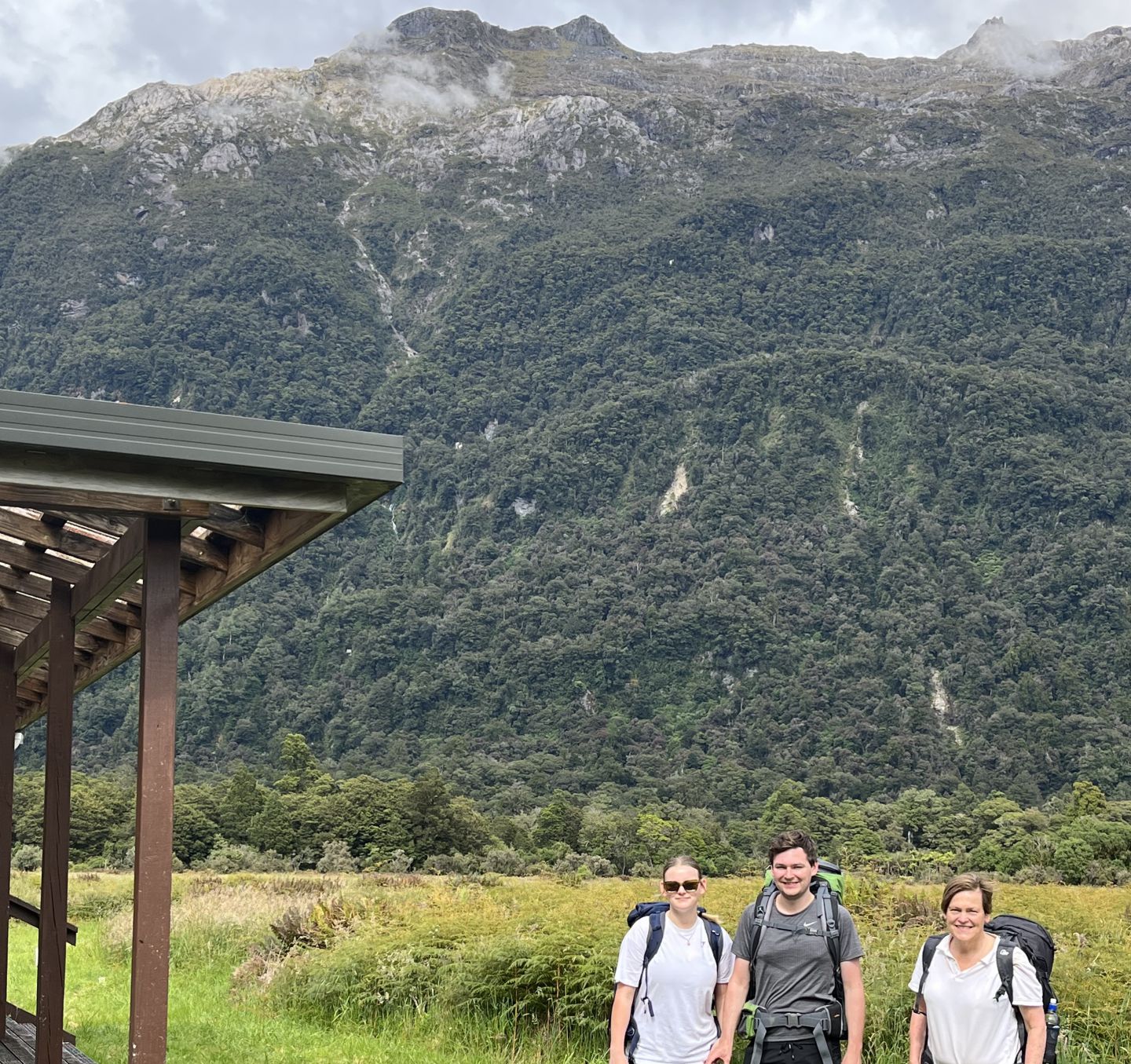
In December 2022, I ventured there with Oliver and Alice Hay to hike the 56 km journey of the Hollyford Track. For this track, there are many hiking options along with a number Department of Conservation huts that can accommodate 12 – 28 hikers.
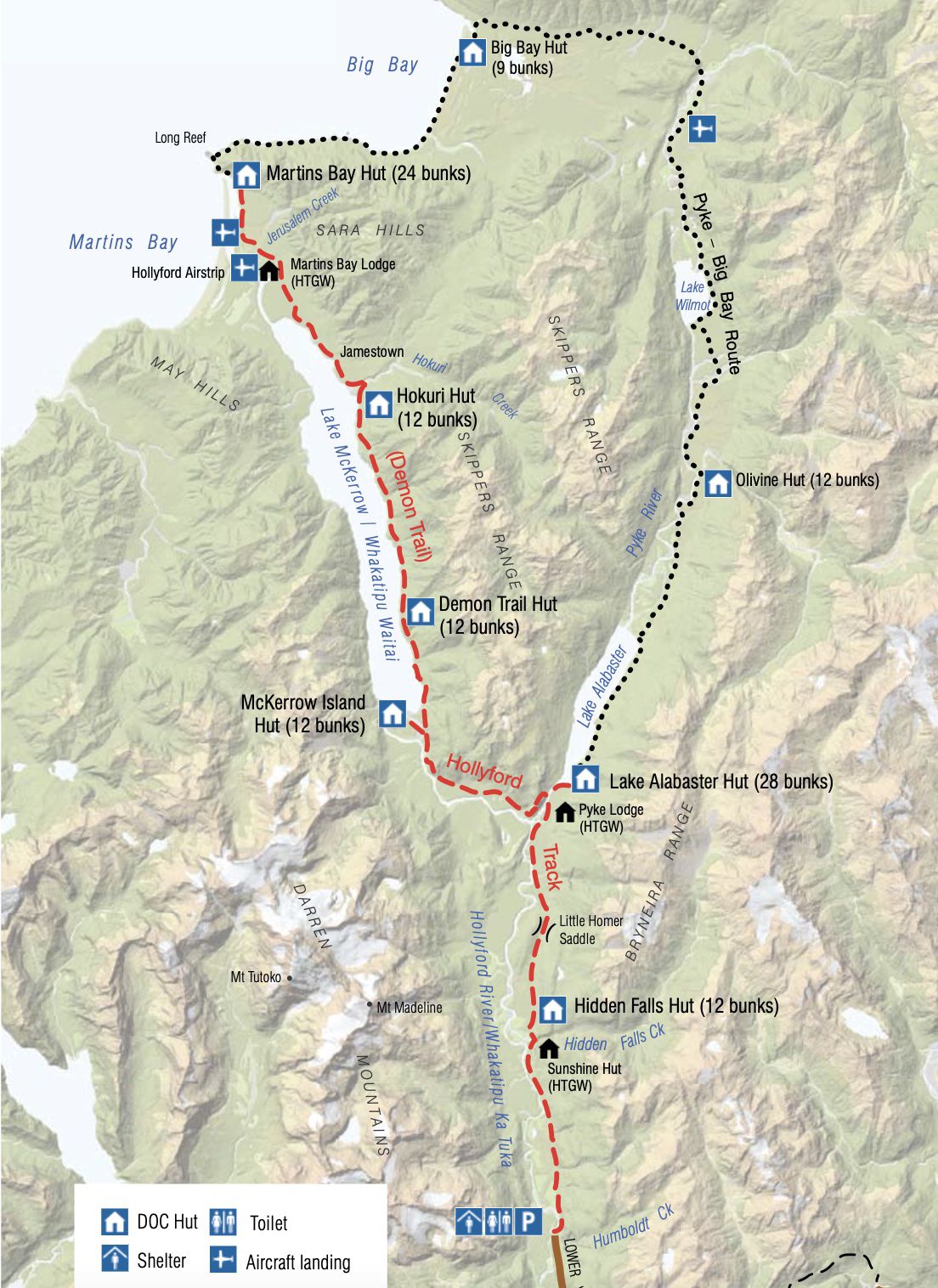
Essentially the Hollyford Track is either walked from the Hollyford Road end, west to the coast at Martins Bay where hikers are picked up by aircraft and flown to Milford Sound. Alternatively, hikers can be flown in to Martin’s Bay and then walk up the valley, alongside Lake McKerrow and segments of the Hollyford River to the Hollyford Road end to be picked up by pre-arranged transport. There is also a bigger loop track (8-10 days) for the more ambitious that takes you north beyond Martins Bay to Big Bay where hikers follow the Pike River to Lake Alabaster and then re-join the main Hollyford Track.
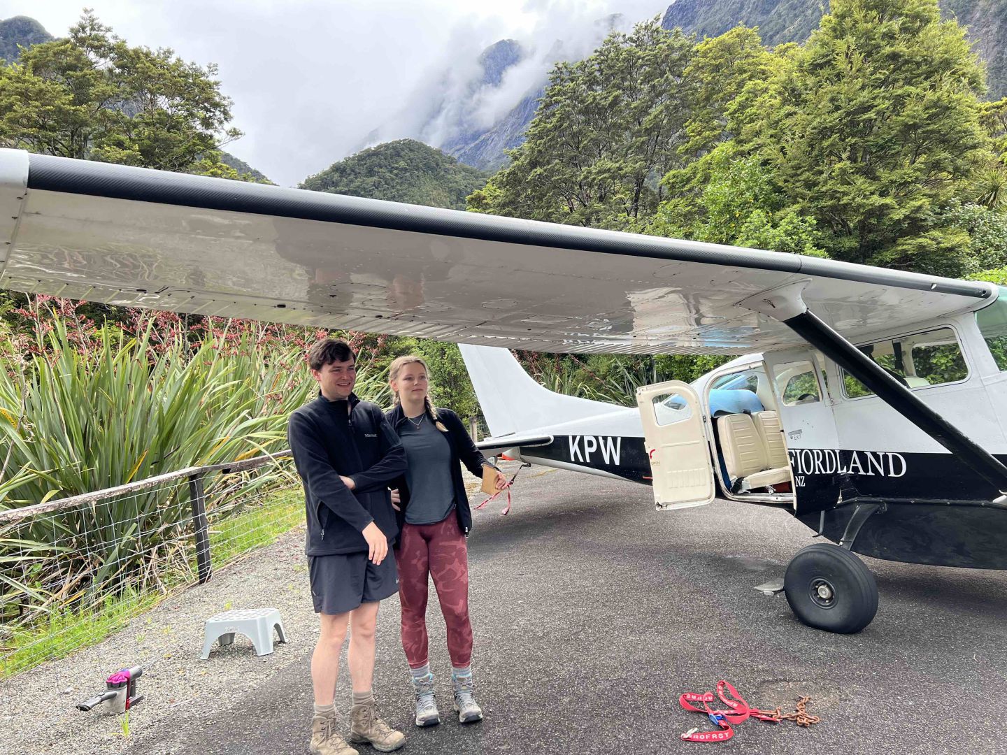
We opted to fly into Martins Bay from Milford and walk up the Hollyford Valley. To do this, we travelled by bus from Queenstown to Te Anau, stayed overnight and then departed the next morning for the 2 hour drive to Milford Sound.
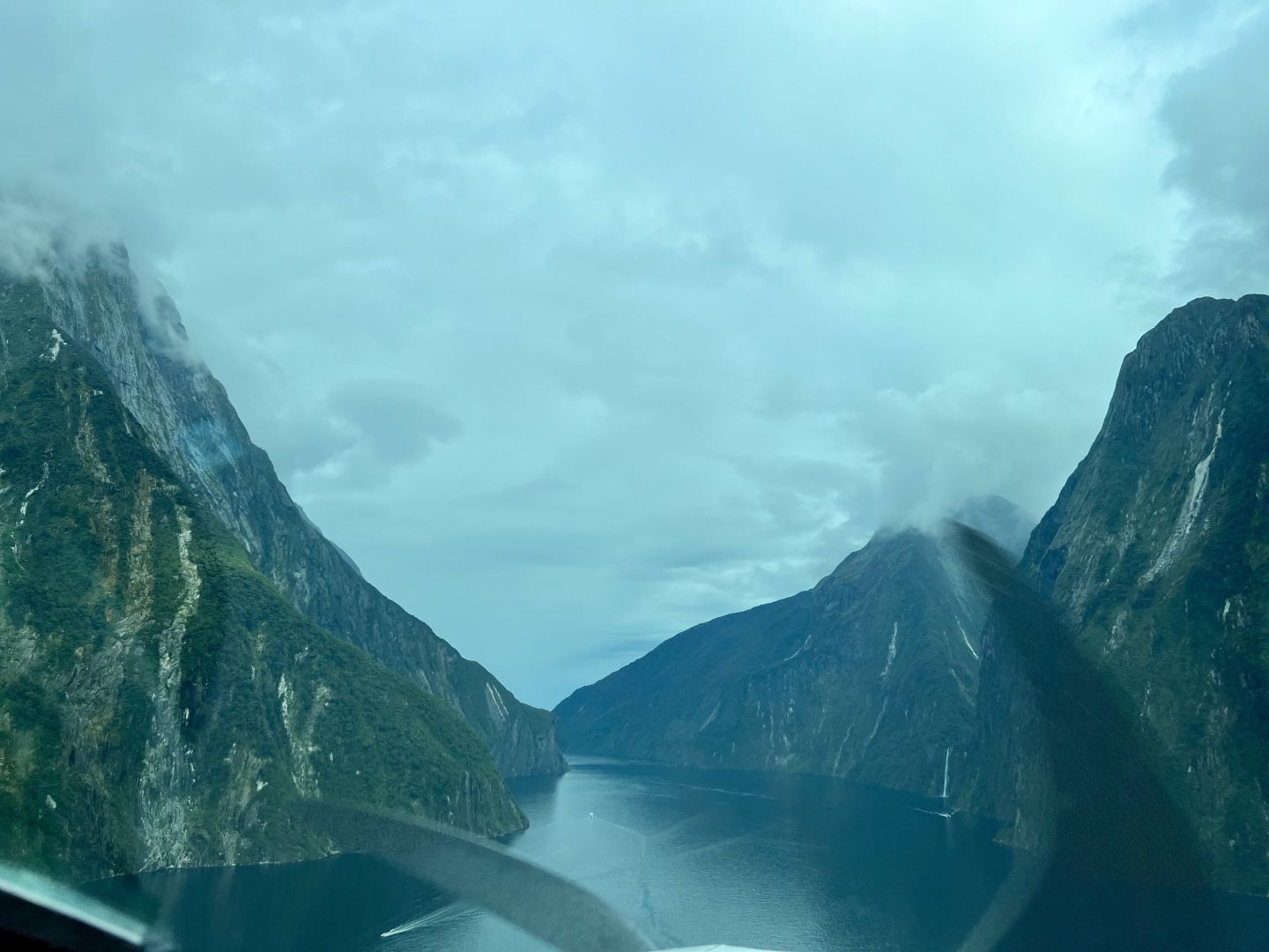
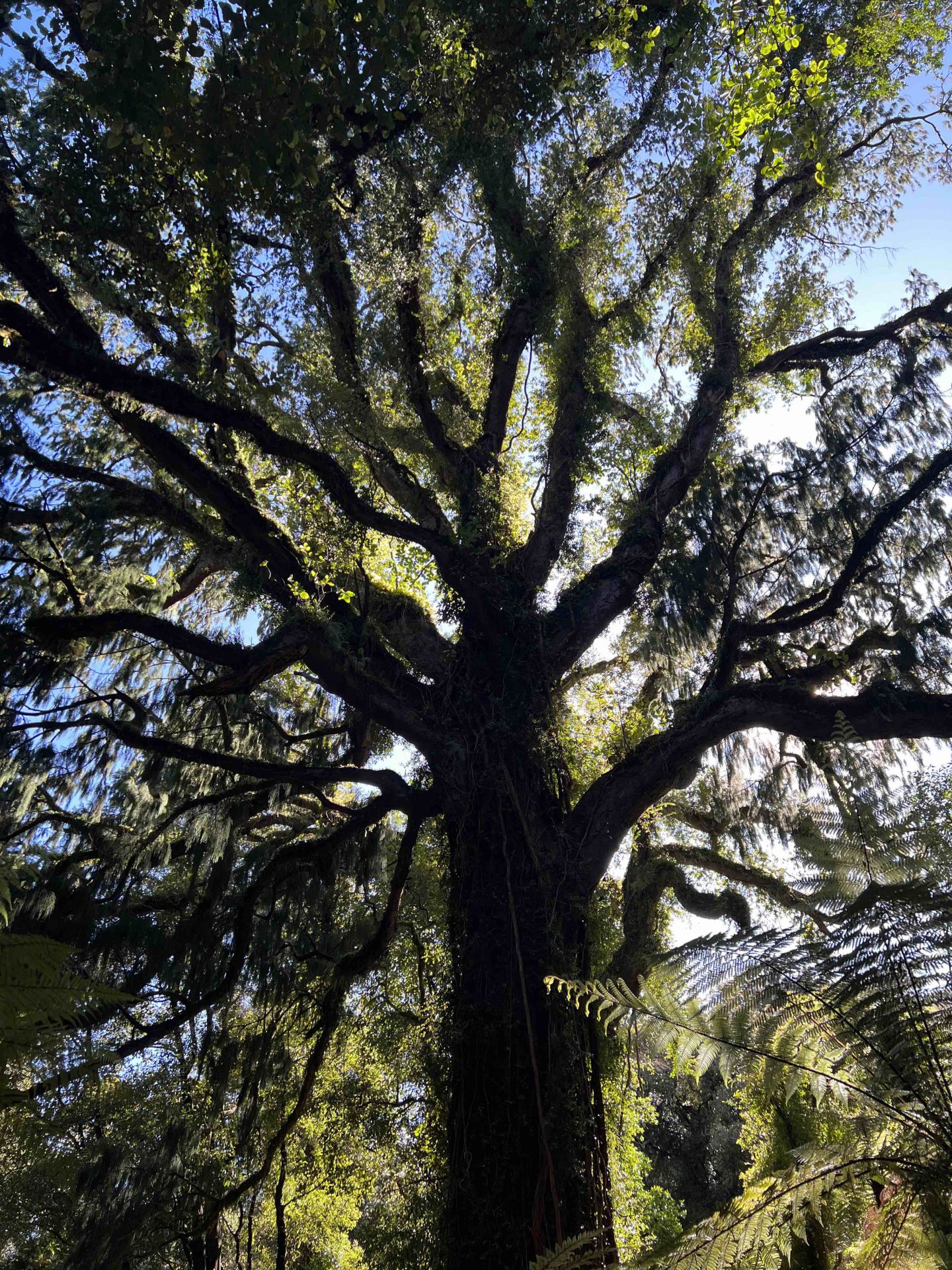
The Hollyford Track involves diverse terrain but primarily hikers traverse bush-clad valleys and hills of indigenous podocarp rain forest. There are no torturous slogs over mountain passes on this track.
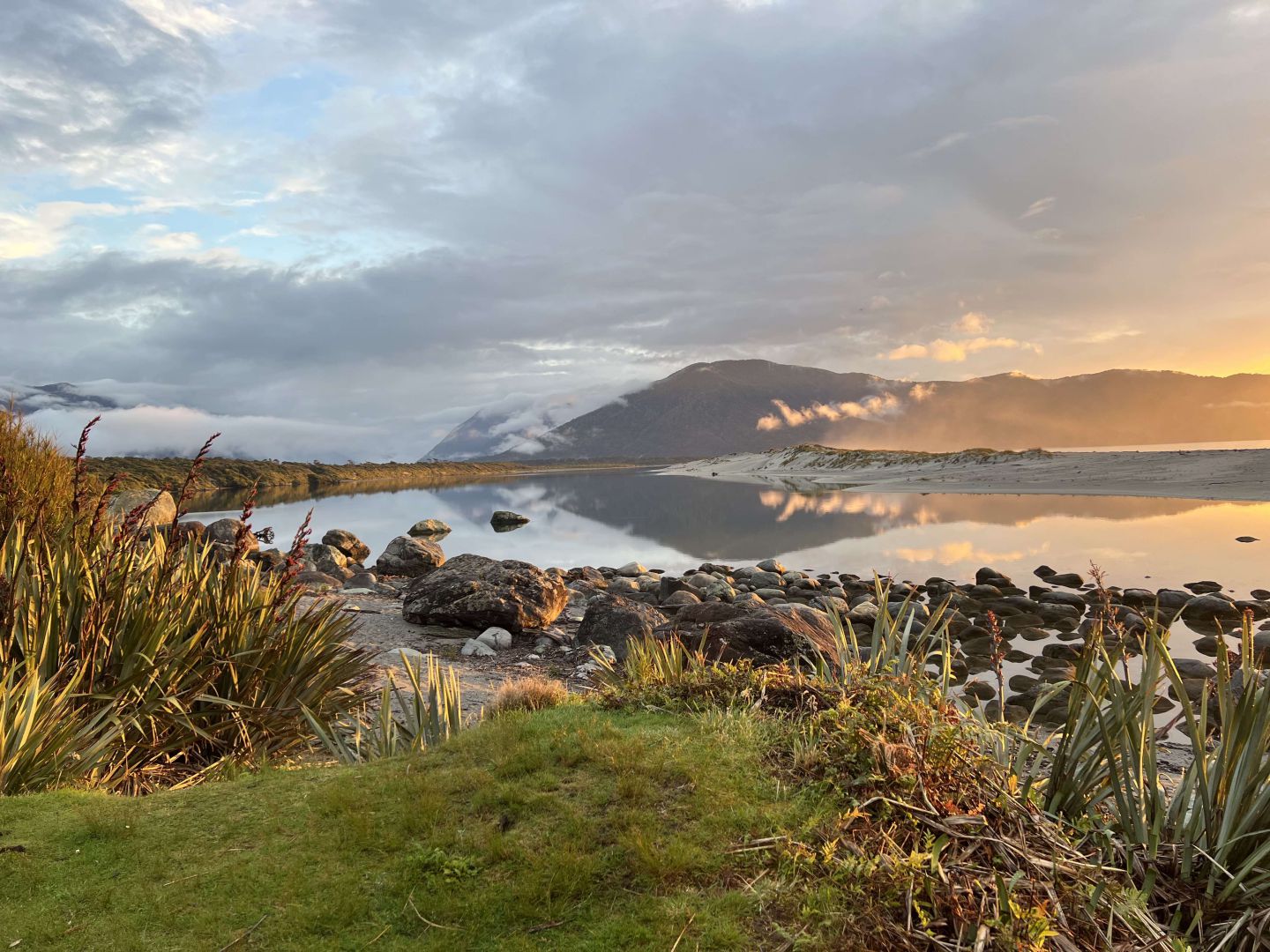
View from Martins Bay hut, down the Hollyford Valley at sunset.
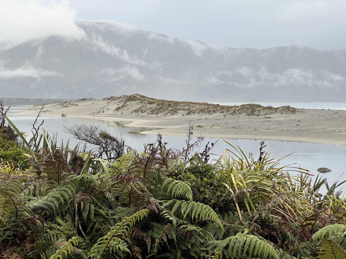
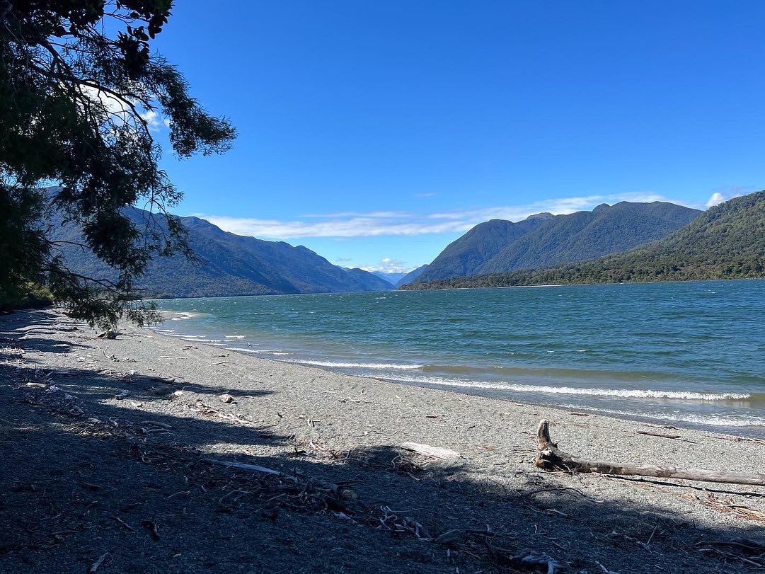
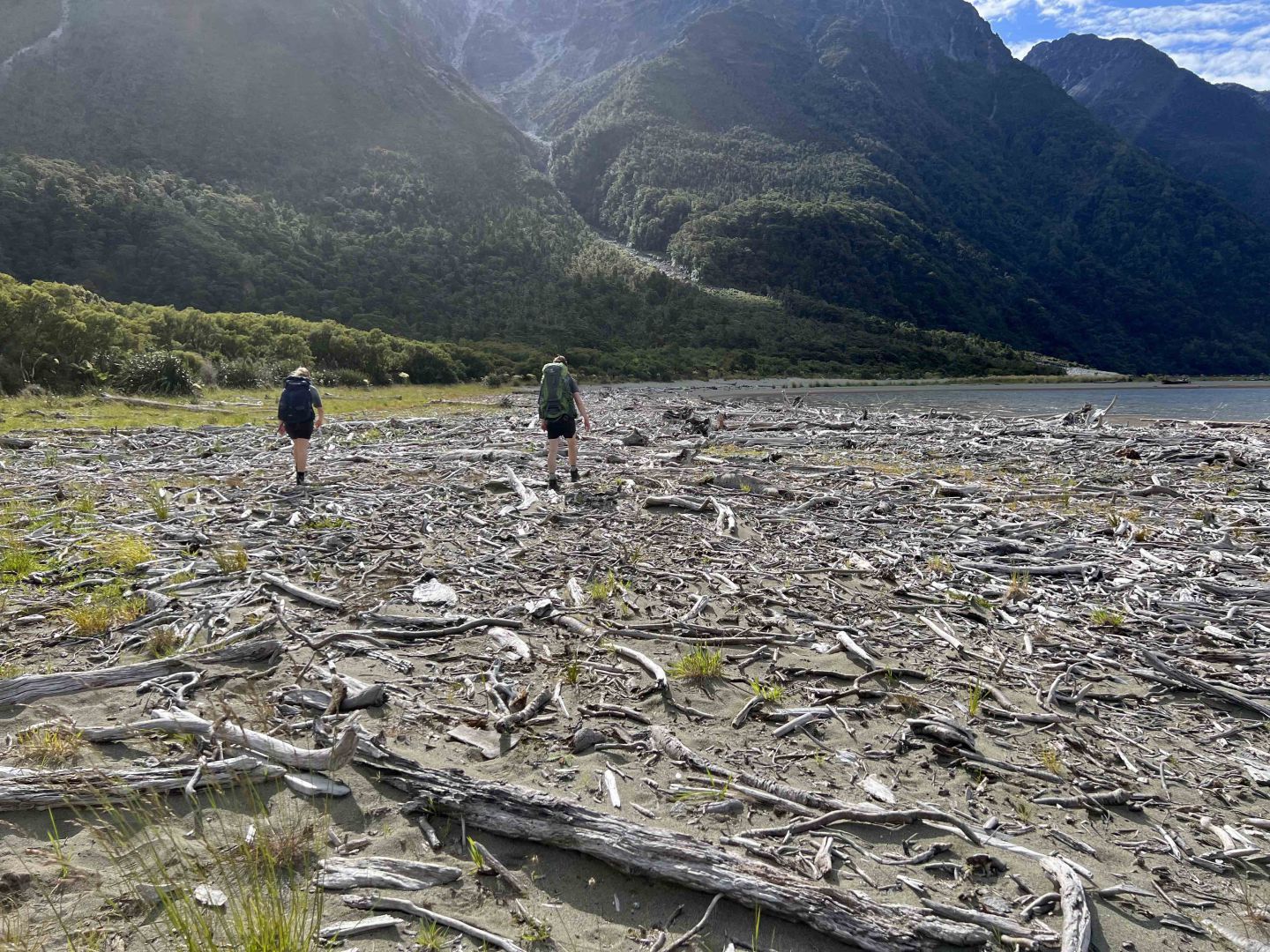
Sand bar at Martins Bay
The sections of track around Martin’s Bay and the lower Hollyford Valley are easily manageable and parts are along the sands of the estuary.
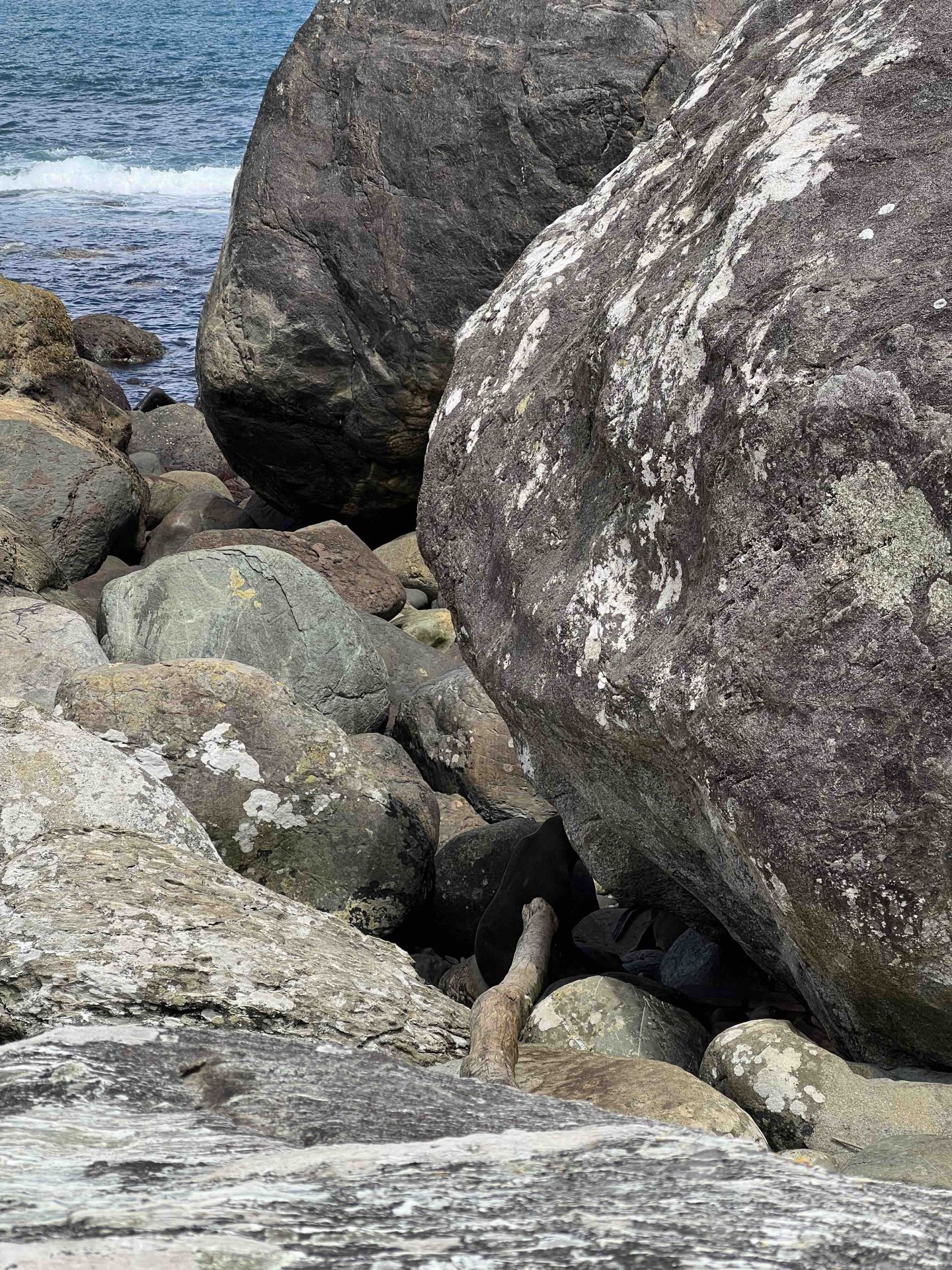
You can walk further along the coast to a seal colony. When we visited in December, the seal pups were hiding with their protective mothers beside these boulders.
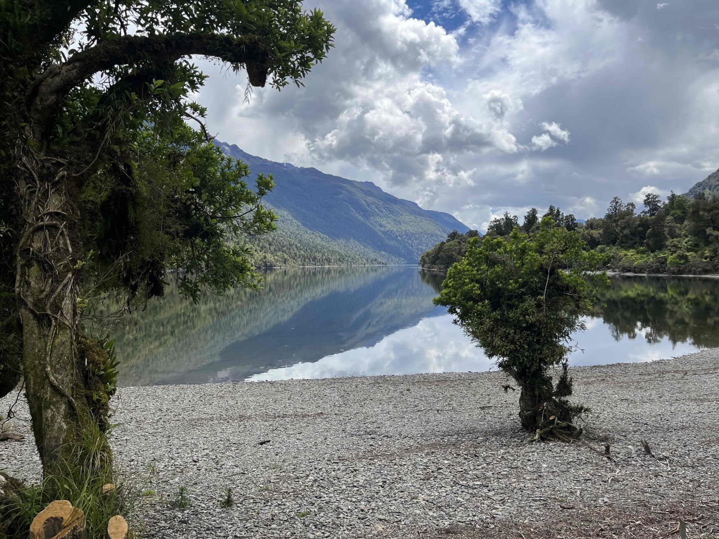
On Day 2, we started the walk along Lake McKerrow which would take two days through mixed beech and podocarp forest - lots of old kahikatea trees, rimu and silver beech, punga and ferns at galore.
For many sections of the narrow track, the primary focus is the placement of your next step as slipping and tripping hazards abound. In some sections, you may be scrambling over slippery moss-covered rocks, clambering over curly beech tree roots or trudging through muddy swamps.
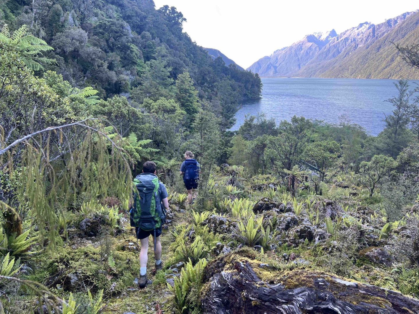
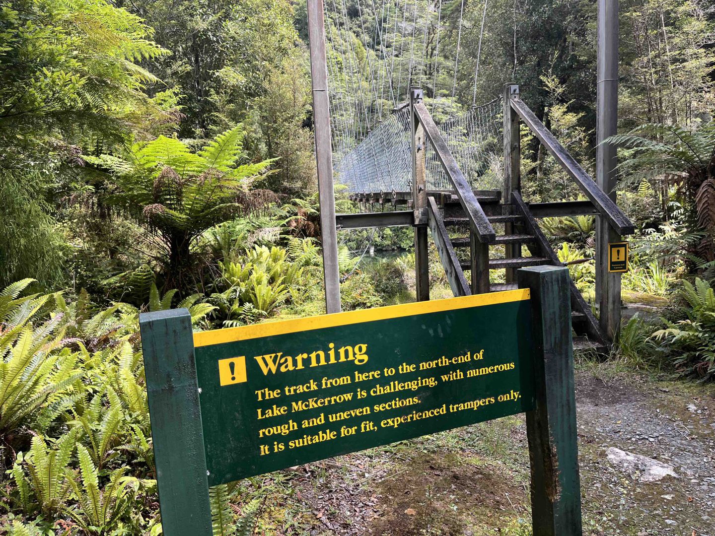
On Day 3 we walked along the segment that runs alongside Lake McKerrow, ominously called the “Demons Trail” has that name for a good reason. It is rough, rocky and poorly formed in places. Large fallen trees force detours from the marked route.
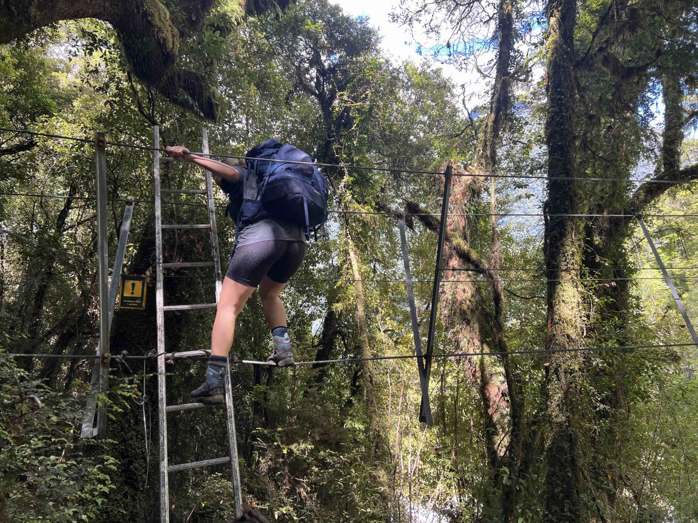
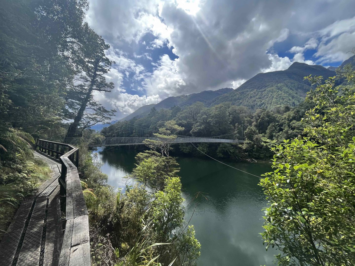
Frequent river-crossing including a series of 3-wire swing bridges placed over fiesty, alpine streams that test your nerves and sense of balance.
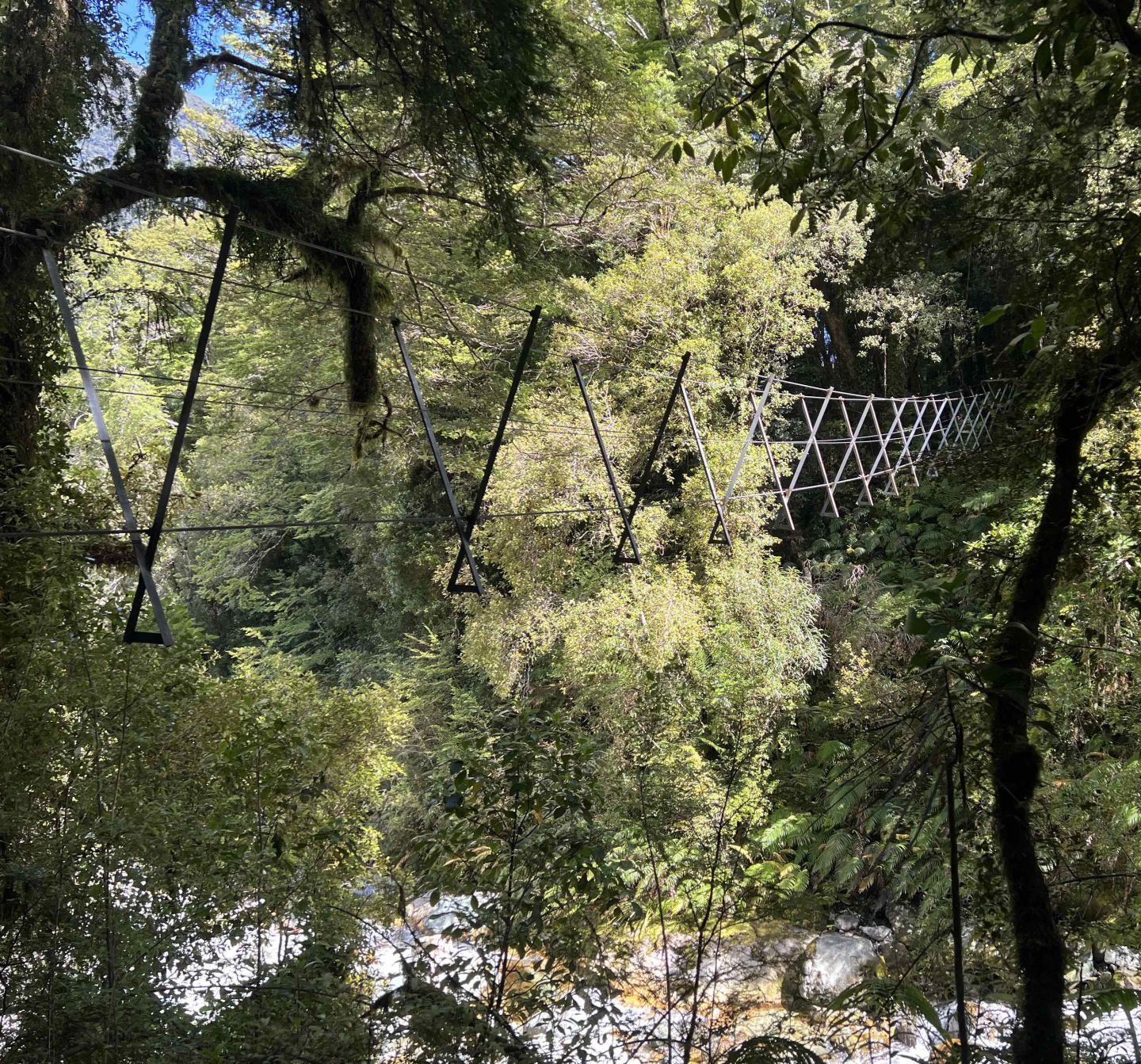
3 wire swing bridge along the Demon's Trail
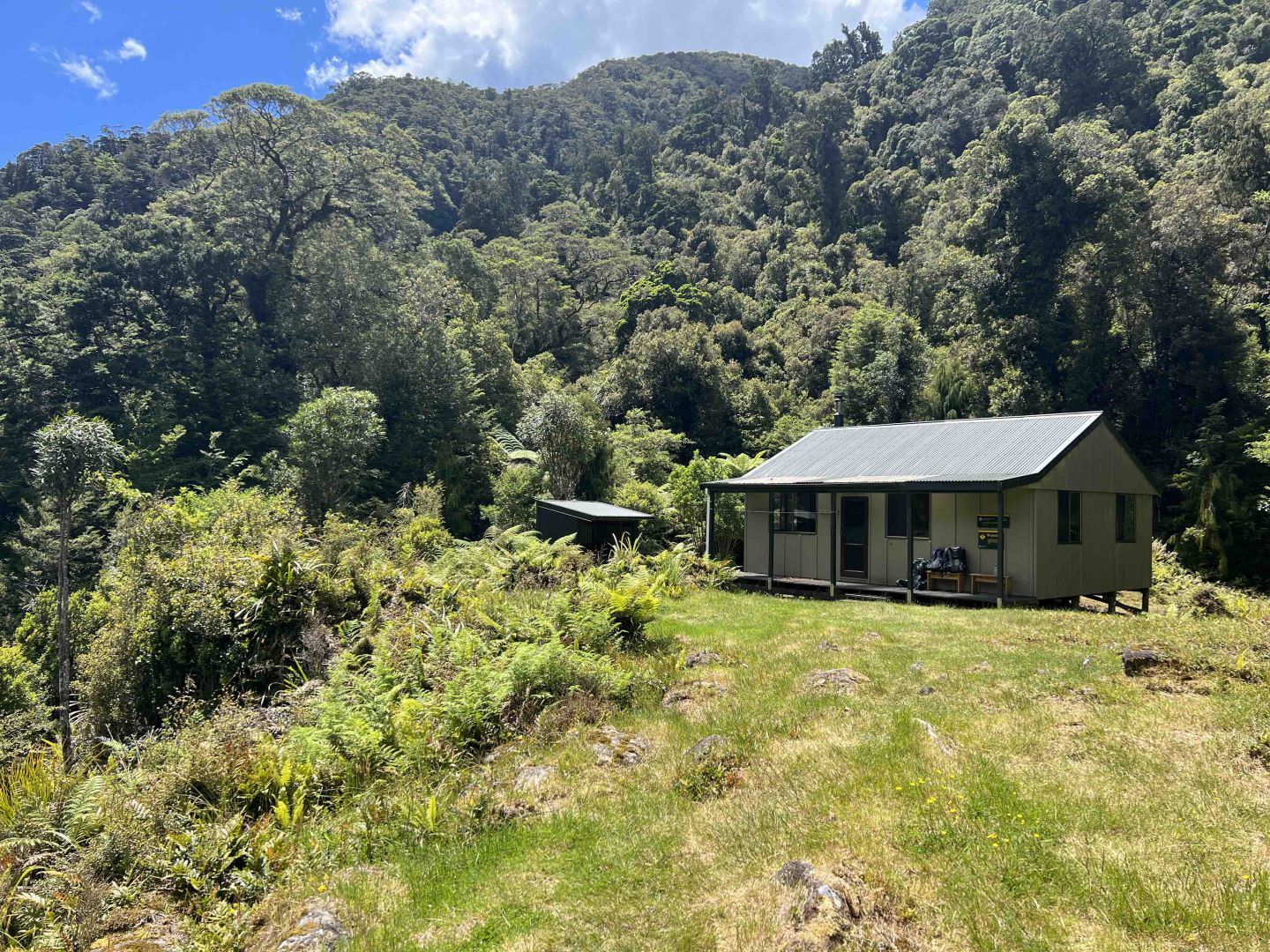
Demon's Trail Hut
This is a wilderness adventure and with this knowledge, comes the simple pleasure and heighten anticipation of knowing that tonight’s hut is close and respite is near.
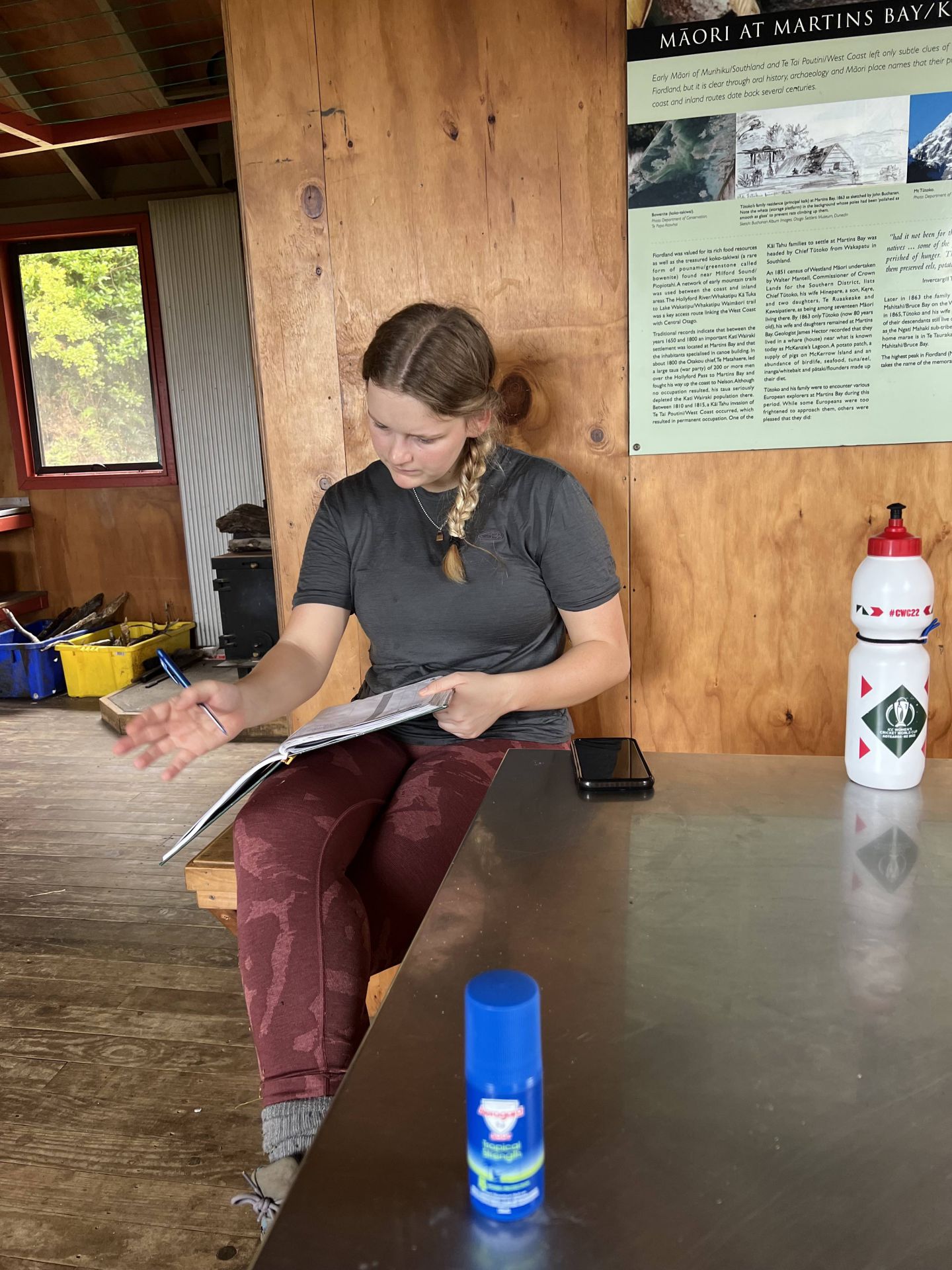
Alice reads the Intentions Book, at Martin's Bay Hut. This is where you record your day's movements and future plans.
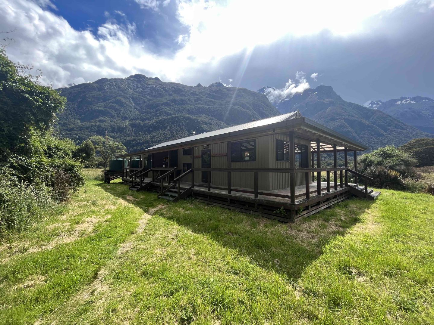
The modest huts comprise a small, dry cabin with racks of bunk beds, unpretentious tables, benches, maybe a sink inside with captured rainwater that needs to be boiled before drinking. We must carry our own gas canister and burner and any rubbish must be taken back out with you….
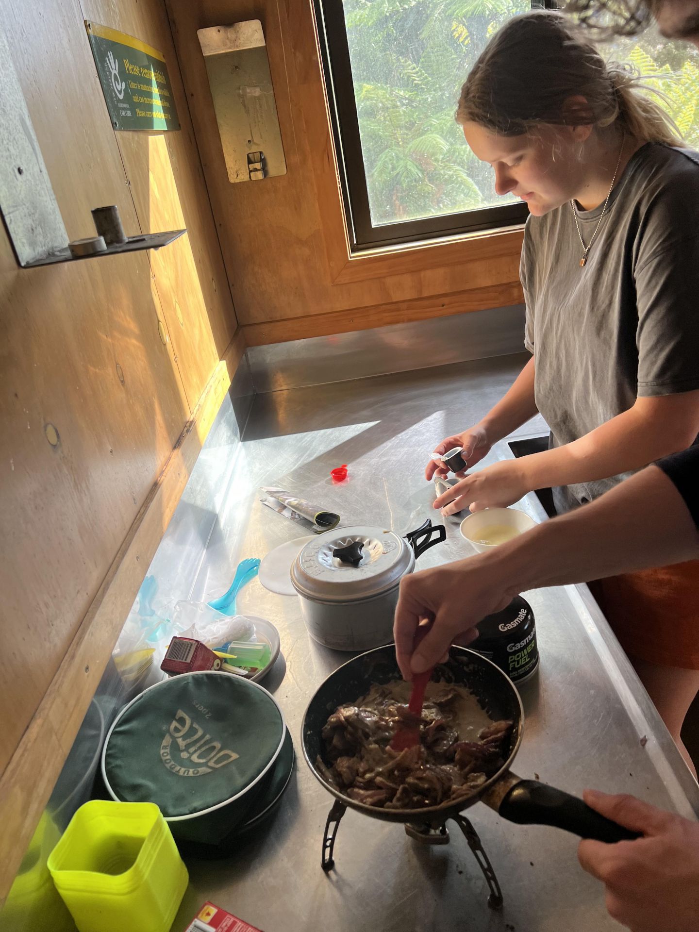
Preparing dinner at Hokuri Hut
A cast iron stove, originally designed to burn coal, now banned in New Zealand national parks, now requires hikers to collect fallen (often damp) timber as the only fuel option. Once darkness falls, only a torch or candle give light so it’s early to bed.
Waking at daybreak to the birdsong sets off the mood for the day. Along the track throughout the day, you can easily identify the distinctive call of the tūī and bellbird/korimako; the melodic grey warbler/riroriro and friendly fantail/piwakawaka. The resurgence of birdlife is due to a large number of predator traps that kill stoats and possums and managed by DOC and the Hollyford Conservation Trust.
Other birds whose song can be heard as you walk are: South Island robin/kakaruai, tomtit/miromiro, yellowhead/mohua, brown creeper/pīpipi, silvereye/tauhou and even the kaka, a small parrot. Click here to NZ Birds Online to listen the birdsongs.
Preparation for the day’s hike begins with a substantial breakfast. Over the years, we have learnt to carry in a 6 pack of eggs safely packed in a plastic-lidded container along with a small non-stick fry pan. One egg per day, cracked into Vogels bread, with the centre removed and fried off with a rasher of bacon until crispy brown. We call it the Egg-in-One. Tasty! Breakfast is a highlight.
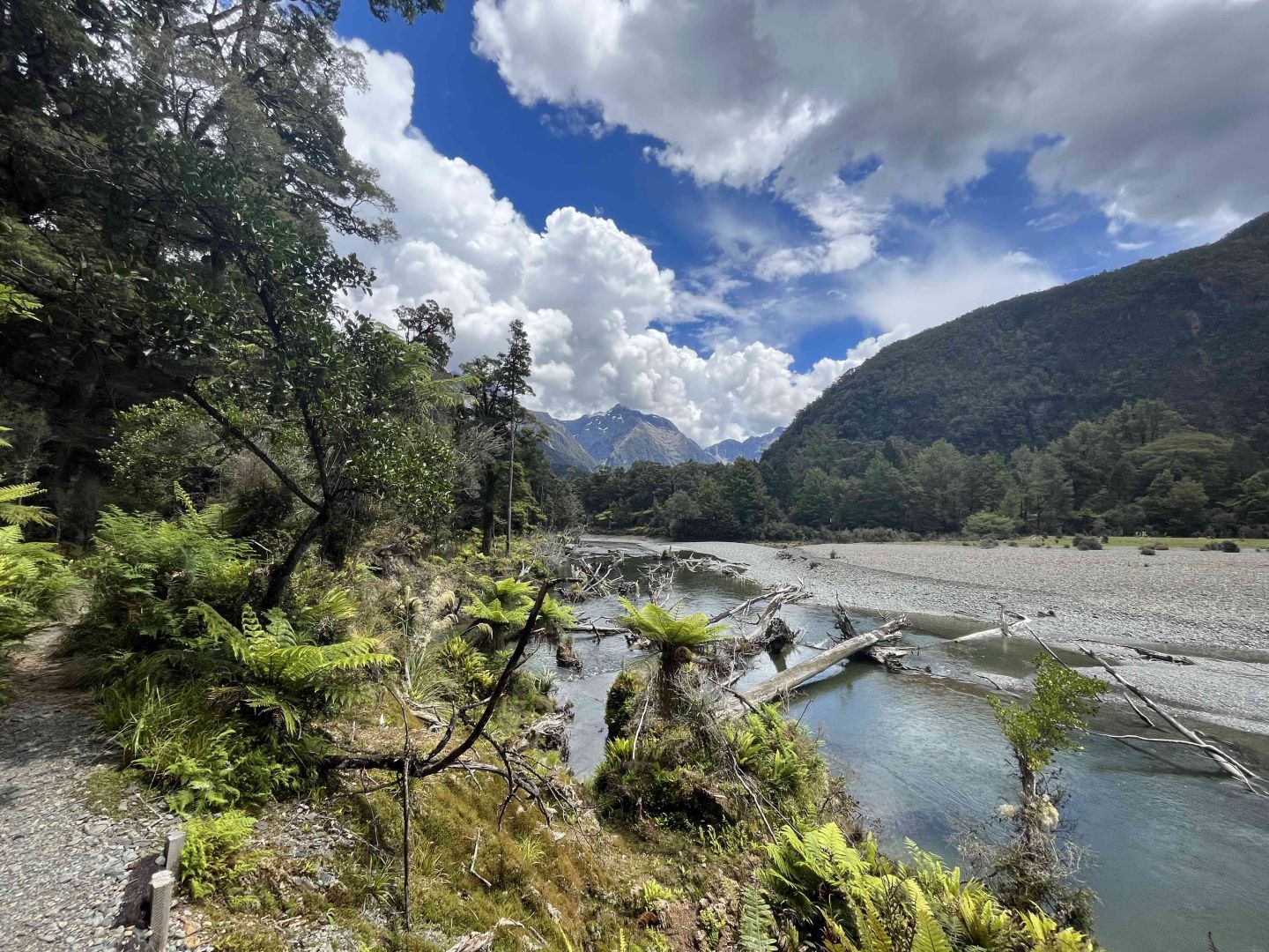
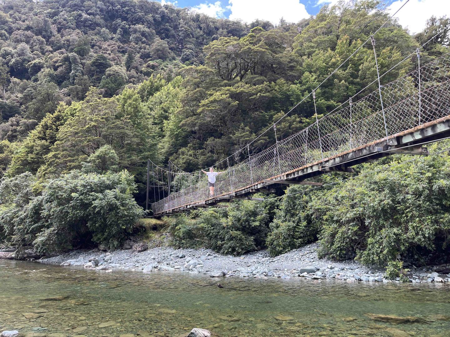
On Day 4 we walked from McKerrow Island hut to Hidden Falls - around 20 km. Above is the walking bridge across the Pike River, near Lake Alabaster.
We noticed this Pike River Bridge Fitness Warning and thought it apt!
Lake Alabaster with still and calm waters.
Walking alongside the Hollyford towards Hidden Falls and the Hollyford Road End.
Hidden Falls Hut
Leaving Hidden Falls for our final hike out of the Hollyford Valley.
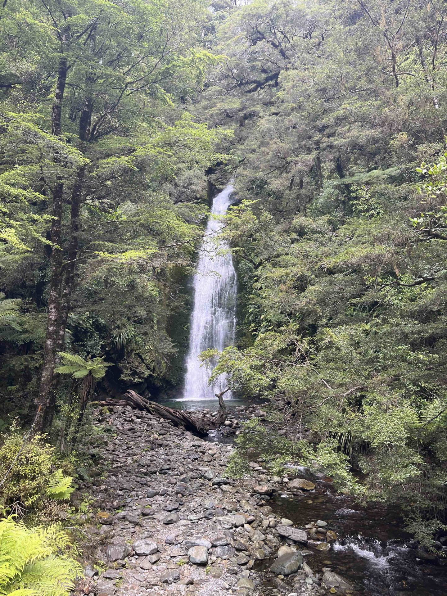
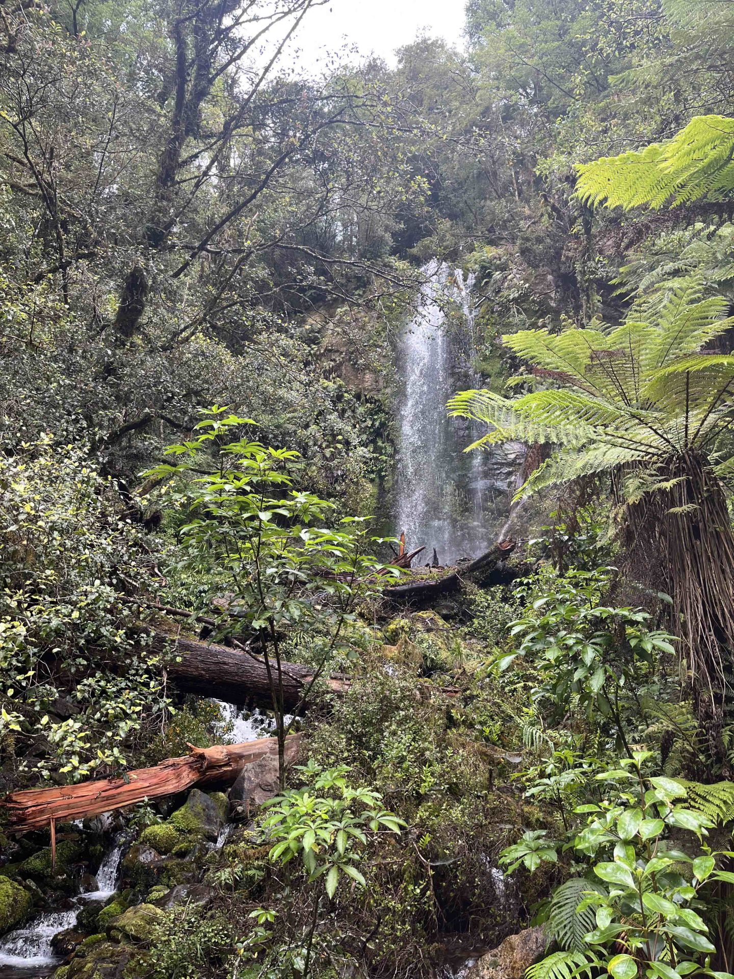
Hidden Falls
First and Last bridge of the Hollyford Track.