Dart River Hike - Mount Aspiring National Park
- 26 December 2019
- Celia Hay
Dart River Hike
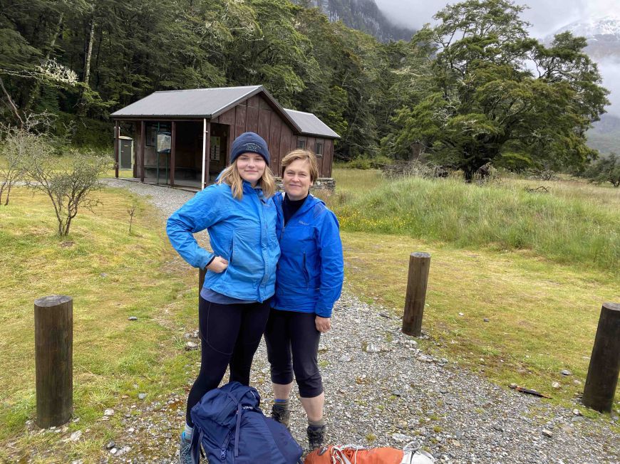
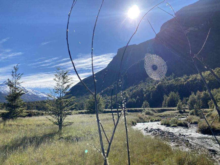
Three days hiking along the Dart River at the side of Mount Earnslaw at the head of Lake Wakatipu. Beautiful, daunting in places - clambering over beech tree roots and numerous river crossing of the tributaries that flow into the great river and enormously satisfying especially to tough it out with my 16 year old daughter, Alice over the 48 km.
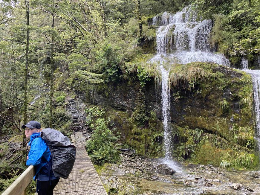
Heavy rain and snow the night before resulted in numerous beautiful waterfalls to view and sometimes, we had to walk under them and have an alpine shower.
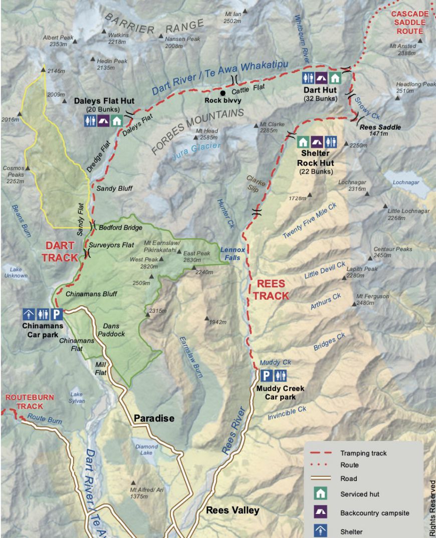
Map of the Dart River - Rees Track
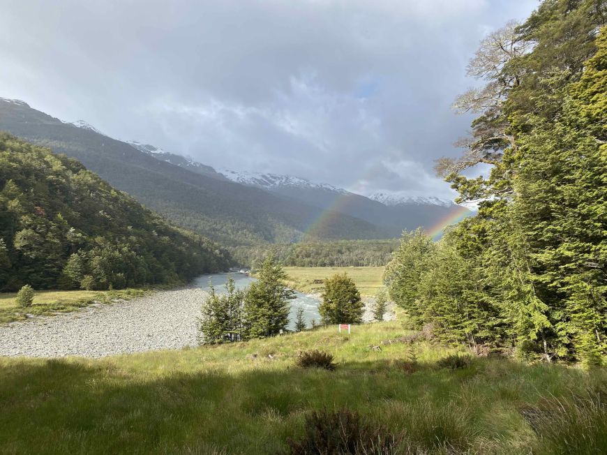
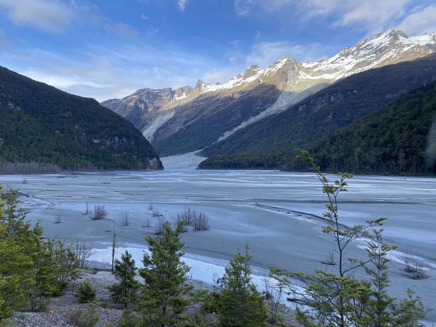
Stormy Clouds and two rainbows on the first night when we reached Daley's Flat Hut. Looking up the river towards Mount Ian and the Dart Glacier.
Day Two
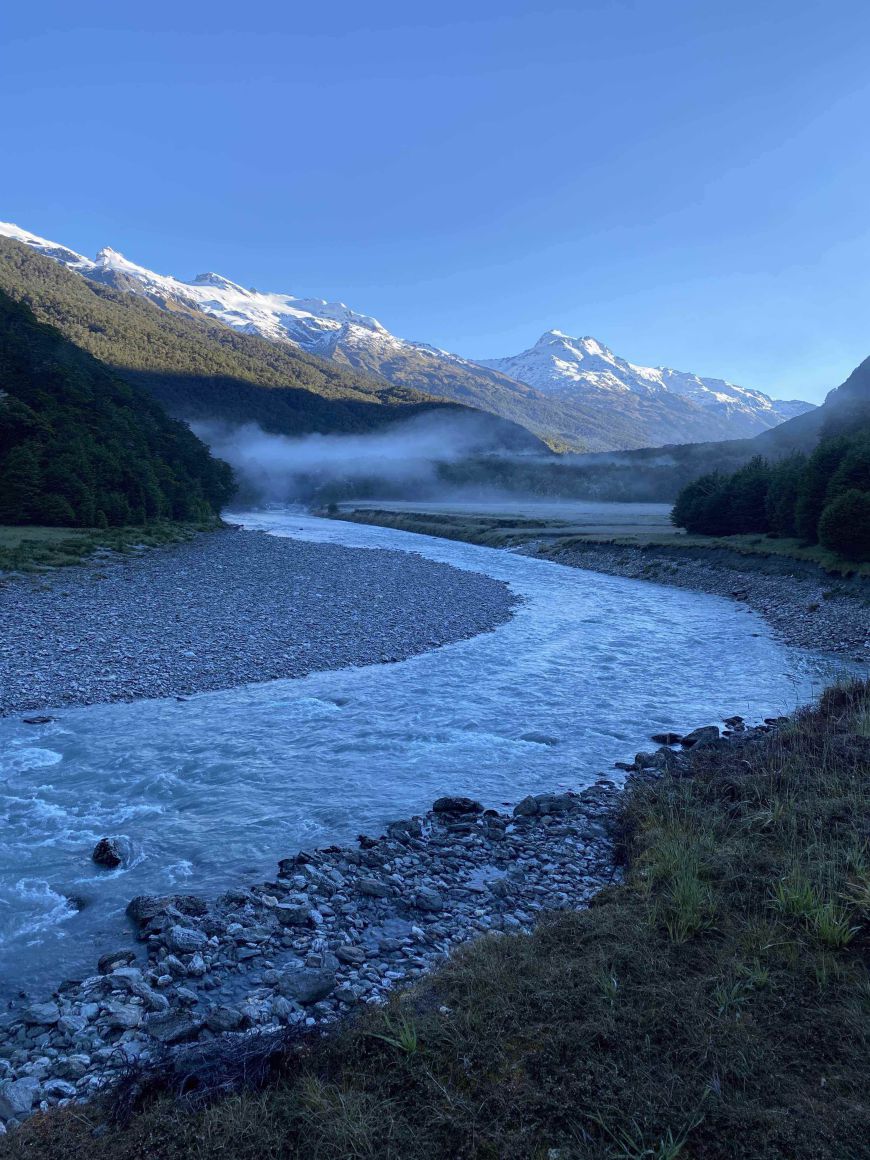
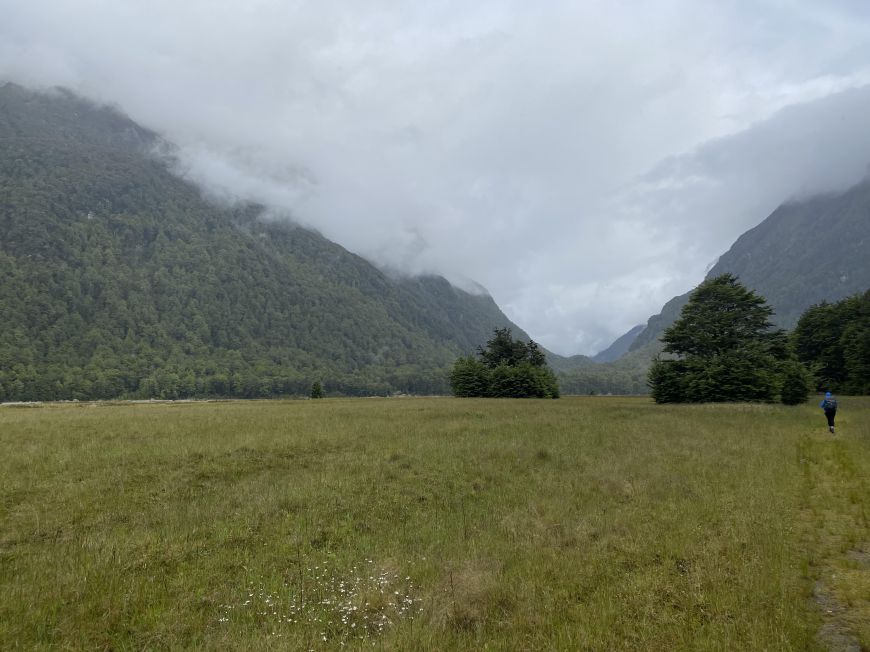
Early morning looking out from Daley's Hut towards Mount Lydia and Mount Ian. You can see the mist and frost over the grasslands where we will soon walk along the Dart River.

Eggs in Vogel's Bread and some rashes of bacon is our standard energy loaded breakfast...while the eggs last. At Daley's Hut.
With the Rees River Road blocked by a slip, we opted to stay two nights at the Daley's Flat Hut. On Day two, we walked (without backpacks) for around 3 hours toward the Dart River Hut, had lunch at the large grasslands of Cattle Flat and then returned to Daley's. It was a crystal clear, alpine day, still brisk at 10 - 14C.
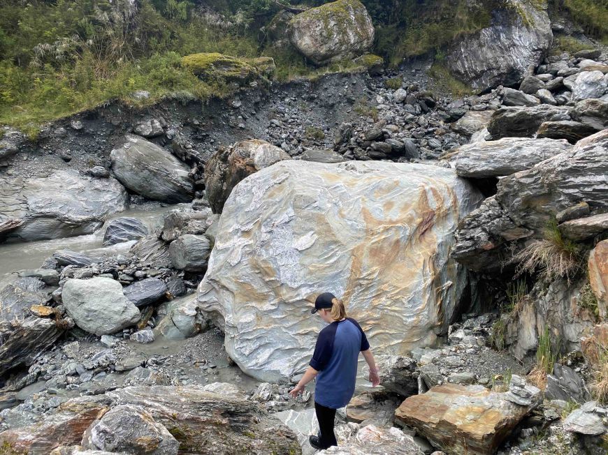
River crossing
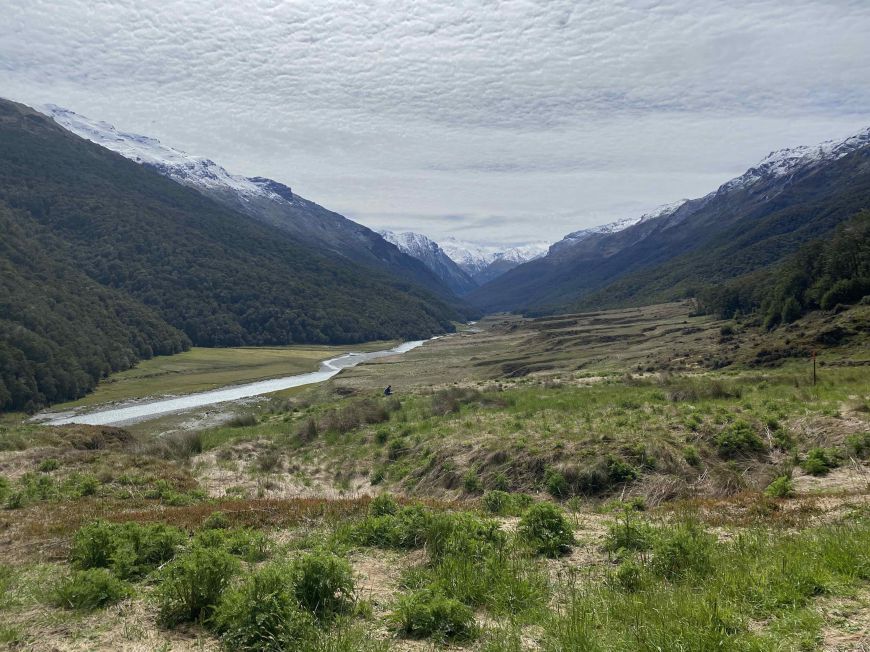
Looking north-east up the Dart River and along Cattle Flat.
The Dart Hut is about 4 hours walk from this point.
Day Three
Magnificent view of the Dart walking back through the forest to Chinaman's Bluff.
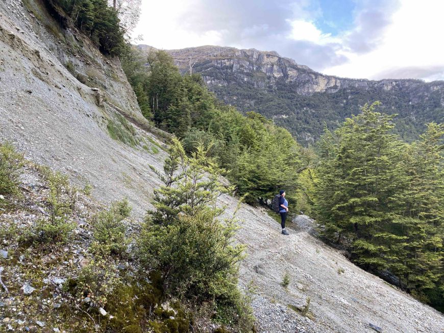
Walking back southwards along the Dart River towards Sandy Bluff (the bush headland) opposite the shingle scree.
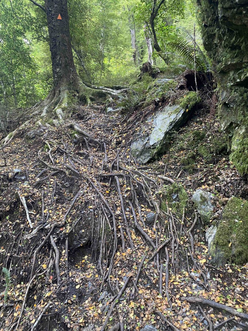
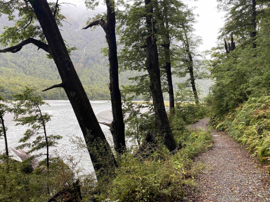
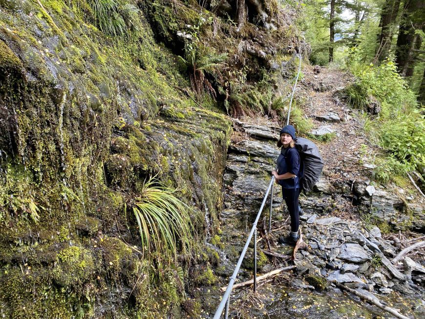
Beech tree roots to clamber over when the track is not well-formed. The small orange triangle shows you that you are on the right path!
The track outline alerts us to narrow and sometime step sections requiring 'a higher level of backcountry skills than before'. In fact the root-walking forces you to consider each step forward so that you do not loose your balance or get tripped up by a tenacious tree root.
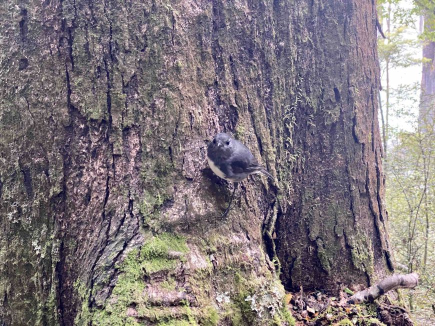
A friendly Toutouwai - South Island Robin comes to investigate as we take a rest from the tangled beech tree roots. The birdlife was flourishing and we could hear and see Rifleman - Titipounamu, Fantail - Pīwakawaka and Bellbird - Korimako.
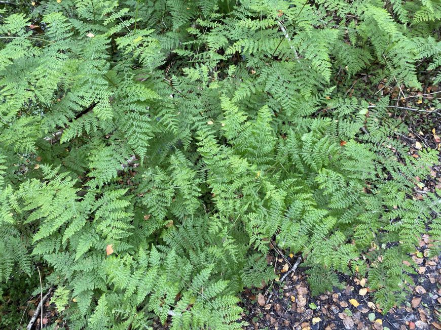
Lace Fern - leptolepia novae-zelandiae (I think), shiny, smooth with delicate fronds and a long finish, numbing finish after nibbling on the tips. According to Hugh Wilson, this is the only member of a genus endemic to New Zealand.
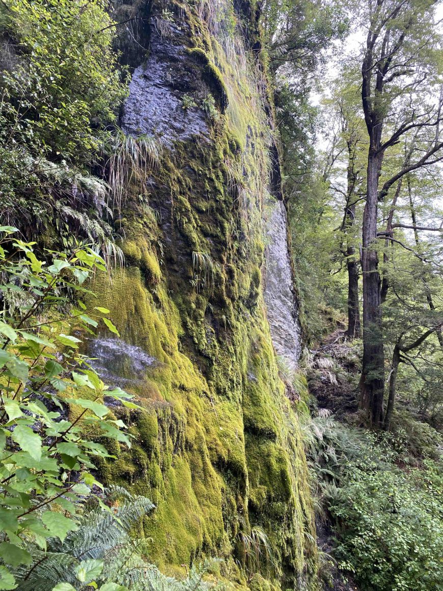
Take a closer look at this luxurious cliff side of native mosses and lichens. The most common moss in New Zealand is Hypnum Cupressiforme - a moss with the form of a cypress. It is native to most of New Zealand and temperate regions around the world. (Wilson 2013).
Early morning on day two, looking towards Mount Ian, covered in fresh snow.